
TECHNOLOGY
National Remote Sensing Framework to improve use of satellite and drone technology
August 1, 2026 · BBS News
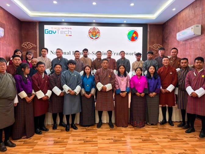
From monitoring forests and glaciers to preparing for disasters and planning infrastructure, remote sensing has become an important tool for governments around the world. It uses satellites and drones to scan and gather information about places, helping authorities make better decisions. But despite its benefits, in Bhutan, many government agencies using the technology have largely […]
Read the full story on BBS News